Live Earth
Fires burning now, seen from space
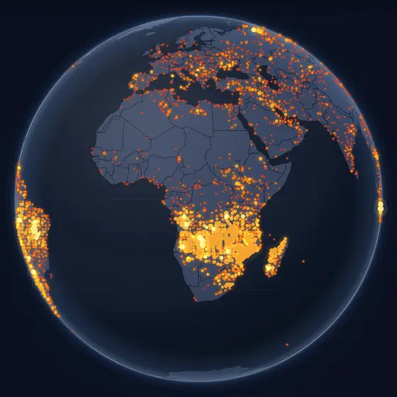
Every hotspot NASA's satellites have detected in the past 24 hours: wildfires, burning fields and flares, gathered on one map.
Right now
What you are looking at
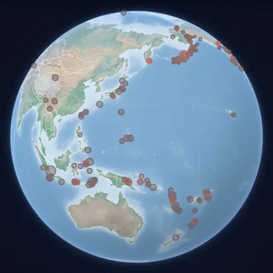
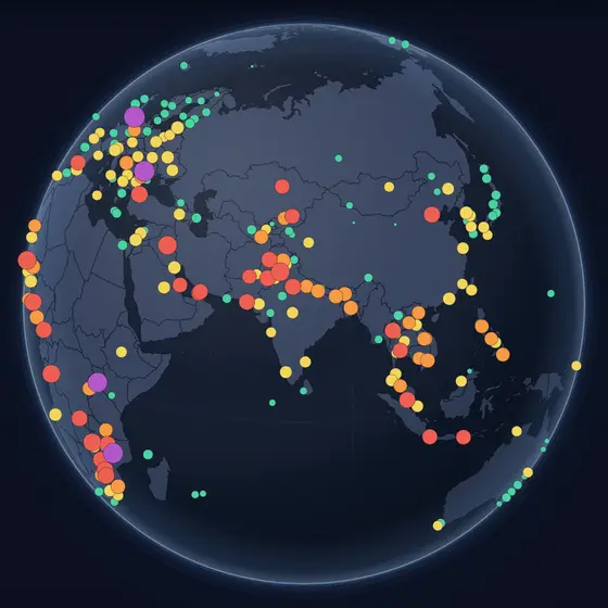
Each glowing dot is a cluster of heat detections from the VIIRS instruments on the NOAA-20 and Suomi NPP satellites, which cross every part of the Earth at least twice a day. The brighter the dot, the more fire energy was measured there. Seasons show clearly: Africa's savannas in their dry months, Siberia and Canada in summer, the Amazon's edge in the burning season.
How to read it
- A brighter, bigger glow means more heat detected in that area over the past day.
- Not every dot is a wildfire: fields burned after harvest, gas flares and volcanoes show up too.
- Zoom in to separate a single fire front from its neighbours.
Where the data comes from
NASA FIRMS (Fire Information for Resource Management System), VIIRS on NOAA-20 and Suomi NPP, the past 24 hours. Refreshed hourly while the layer is open.
Questions
- Where are the most fires right now?
- It depends on the season. Much of the year, the largest numbers are in the savannas of Africa south of the equator and in the Sahel, where grass is burned in the dry season; in the northern summer, Siberia, Canada and the Mediterranean join them.
- Can satellites see small fires?
- VIIRS can detect a fire much smaller than one of its pixels, about 375 metres across, if it is hot enough — but clouds and thick smoke hide fires underneath them.
- Is every point on this map a wildfire?
- No. The satellites detect heat: agricultural burning, gas flares at oil fields and active volcanoes appear as well as forest and grass fires.