Every aircraft in the air, right now
Thousands of aircraft as a worldwide network of volunteer receivers sees them this minute — each one moving across the map at its real speed, with its route where it is known.

What you are looking at
Each arrow is one aircraft, turned the way it is flying and coloured by altitude: amber near the ground, climbing out or coming in, paling to cyan at cruising height. The positions arrive once a minute and the map flies every aircraft on from its last one, so the picture moves. The busiest skies stand out at once — over Europe, the eastern United States and East Asia — and the ocean crossings show as strings of aircraft following the same tracks.
How to read it
- Colour is altitude: amber is under 10,000 feet, cyan is above 35,000 — the height of a long-haul cruise.
- Tap an aircraft for its callsign, type, altitude, speed and, when known, where it took off and where it is heading.
- Coverage is where volunteers have receivers: dense over land in Europe and North America, thinner over oceans and parts of Africa and Asia.
Where the data comes from
ADSB.lol (ODbL), a community network of receivers that listen to the ADS-B signals every airliner broadcasts. Kartavera asks for the whole world once a minute while the layer is open. Routes come from the route lookup used by the same maps; airports from OurAirports (public domain).
Questions
- How many aircraft are in the air at once?
- Usually between six and ten thousand that the network can hear, depending on the hour: the most over Europe and North America in their afternoons, the fewest in the small hours over the oceans. The true number is higher, since not every aircraft is within reach of a receiver.
- Why is the ocean nearly empty?
- ADS-B signals are received on the ground, out to a few hundred kilometres from a receiver. In mid-ocean there is nobody to listen, so a flight is seen leaving the coast and again on arrival, with the crossing in between drawn on by Kartavera only for a few minutes.
- How current is the map?
- The positions are at most a minute old. Between arrivals each aircraft is moved on at its last known speed and track, which is accurate to a few hundred metres — far below anything the map can show.
More of the planet, live
 Earthquakes today, on a true-size map
 The wind, flowing over the whole planet
 The sea, as high as it is right now
 Hurricanes, typhoons and floods, right now
 Fires burning now, seen from space
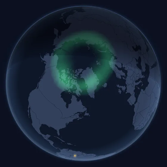 The northern lights, where they are tonight
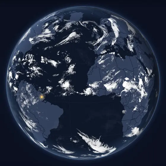 The sky from space, and where it is night
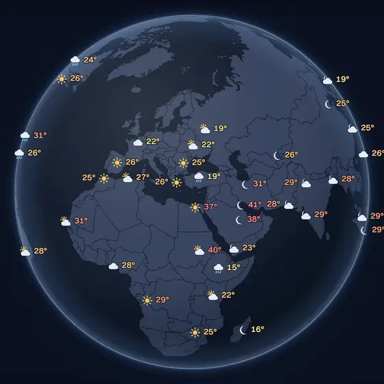 The temperature right now, around the world
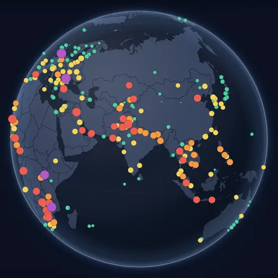 The air right now, where it is measured
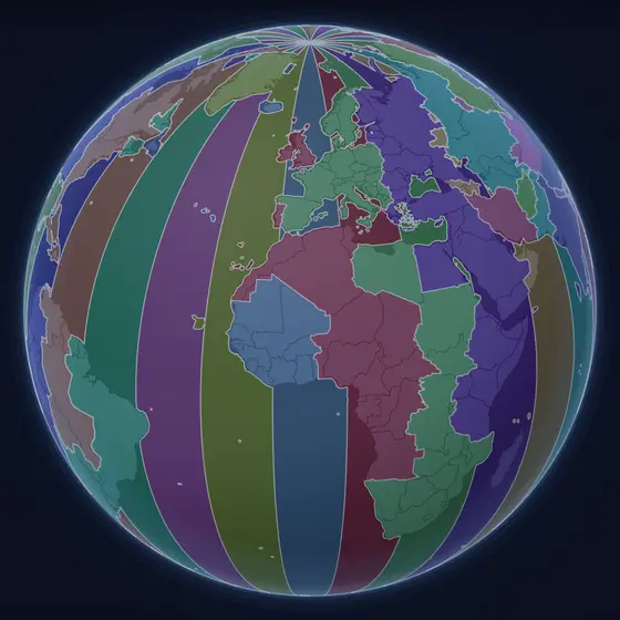 What time it is everywhere, right now
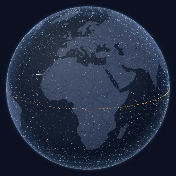 Every satellite, where it is this second
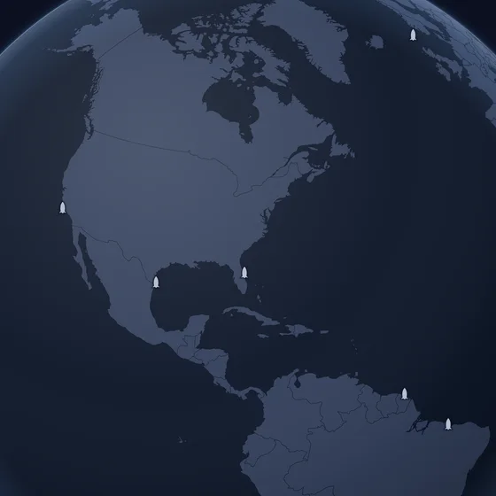 The next rockets to leave the Earth
 What is passing the Earth, and how close
 The Solar System, where the planets are today
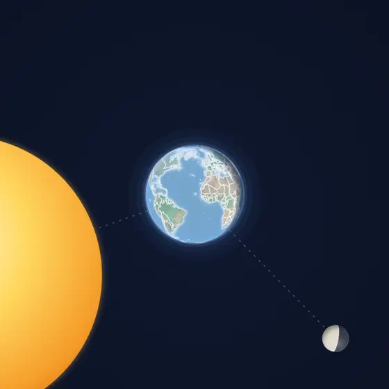 The Earth and the Moon, where they are now