Cook Islands vs Liechtenstein
Cook Islands is 50% larger than Liechtenstein. Liechtenstein would fit into Cook Islands about 1.5 times.
Cook IslandsLiechtensteinCook Islands moved onto Liechtenstein · Equal-area projection
1.5×
Cook Islands is 1.5× the area of Liechtenstein.
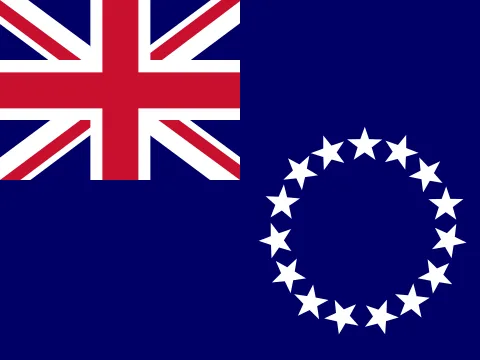 Cook Islands Cook Islands | 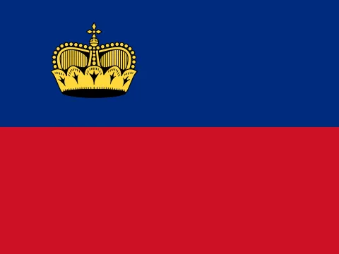 Liechtenstein Liechtenstein | |
|---|---|---|
| Size | ||
| AreaCook Islands: 1.5× the area | 240 km² | 160 km²#190 of 194 |
| Coastline | Coast, no land border | Landlocked |
| Land neighbours | 0 | 2 |
| People | ||
| PopulationLiechtenstein: 2.88× the population | 14,2222023 | 41,024#188 of 194 · 2025 |
| DensityLiechtenstein: 4.33× the density | 59 / km² | 256 / km²#40 of 194 |
| Urban population | — | 15%#192 of 192 · 2025 |
| Fertility rate | — | 1.37 per woman#162 of 192 · 2024 |
| Population growth | — | +1.41%#71 of 192 · 2025 |
| Birth rate | — | 8.4 per 1,000#163 of 192 · 2024 |
| Death rate | — | 7.5 per 1,000#86 of 192 · 2024 |
| Children under 15 | — | 14.2%#176 of 192 · 2025 |
| People over 65 | — | 21.4%#18 of 192 · 2025 |
| Net migration | — | +4.7 per 1,000#21 of 192 · 2025 |
| Refugees abroad | — | 0.13 per 1,000#112 of 190 · 2022 |
| Health & education | ||
| Life expectancy | — | 84.2 years#5 of 192 · 2024 |
| University enrolment | — | 46.0%#81 of 145 · 2021 |
| Human Development Index | — | 0.938#16 of 190 · 2023 |
| Economy | ||
| GDP | — | $8.91B2024 |
| Income group | — | High income |
| Internet users | — | 98%#9 of 184 · 2024 |
| Mobile subscriptions | — | 129 per 100#54 of 191 · 2024 |
| Energy & environment | ||
| Forest area | — | 37% of land#76 of 192 · 2024 |
| Renewable energy | — | 56.9%#42 of 190 · 2022 |
| Access to electricity | — | 100.0%#1 of 192 · 2024 |
| Protected land | — | 44.8% of land#4 of 191 · 2025 |
| Arable land | — | 10.8% of land#94 of 190 · 2024 |
| Governance & safety | ||
| Political stability | — | +1.53#2 of 193 · 2025 |
| Control of corruption | — | +1.75#12 of 193 · 2025 |
| Homicide rate | — | 5.1 per 100,000#48 of 146 · 2021 |
| State | ||
| Status | Territory of New Zealand | Independent state |
| Government | Dependent territoryparliamentary democracy | Constitutional monarchy |
| Member of | — | Schengen Area |
| Capital | Avarua | Vaduz |
| Currency | New Zealand dollar (NZD) | Swiss franc (CHF) |
| Official languages | English, Cook Islands Maori | German |
| Traffic drives | On the left | On the right |
| Time zone | UTC−10 | UTC+1, summer time UTC+2 |
| Calling code | +682 | +423 |
| Region | Polynesia, Oceania | Western Europe, Europe |
Area: Wikidata. Population, income, health, economy, environment and governance: World Bank. Human Development Index: UNDP. Government: CIA World Factbook. Ranks among the 194 independent states. All sources
Why the map you grew up with disagrees
On a Mercator map, area grows with distance from the equator. Cook Islands sits at about 21° S and is stretched to 1.15× its true area; Liechtenstein at 47° N is stretched to 2.16×. That difference is why Liechtenstein looks so much bigger than it is next to Cook Islands. The figure above uses the Equal Earth projection, where every square kilometre is drawn the same size.
Questions about this pair
- Is Cook Islands bigger than Liechtenstein?
- Yes. Cook Islands is 50% larger than Liechtenstein. Cook Islands covers 240 km² and Liechtenstein covers 160 km².
- How many times does Liechtenstein fit into Cook Islands?
- About 1.5 times: Cook Islands has 1.5× the area of Liechtenstein.
- Why do Cook Islands and Liechtenstein look different on Google Maps?
- Web maps use the Mercator projection, which stretches area with distance from the equator. Cook Islands is drawn about 1.15× its true area there and Liechtenstein about 2.16×. That is why Liechtenstein looks so much bigger than it really is next to Cook Islands. Kartavera uses Equal Earth, where every square kilometre is drawn the same size.
- Which has more people, Cook Islands or Liechtenstein?
- Liechtenstein: 41,024 people against 14,222. Density: Cook Islands 59 per km², Liechtenstein 256 per km².
- What kind of government do Cook Islands and Liechtenstein have?
- By constitution, as the CIA World Factbook describes them — Cook Islands: dependent territory; Liechtenstein: constitutional monarchy.