United States vs Western Sahara
United States is 36.9 times larger than Western Sahara. Western Sahara would fit into United States about 37 times.
Remote islands and overseas parts not drawn; the figures include them
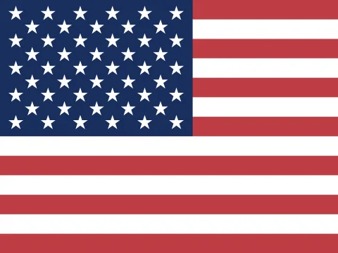 United States | 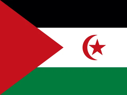 Western Sahara | |
|---|---|---|
| Size | ||
| AreaUnited States: 36.9× the area | 9,826,675 km²#3 of 194 | 266,000 km² |
| Coastline | Has a coast | Has a coast |
| Land neighbours | 2 | 3 |
| People | ||
| PopulationUnited States: 558× the population | 341,784,857#3 of 194 · 2025 | 612,0002021 |
| DensityUnited States: 15.1× the density | 35 / km²#145 of 194 | 2.3 / km² |
| Urban population | 80%#41 of 192 · 2025 | — |
| Fertility rate | 1.63 per woman#121 of 192 · 2024 | — |
| Population growth | +0.52%#125 of 192 · 2025 | — |
| Birth rate | 10.6 per 1,000#132 of 192 · 2024 | — |
| Death rate | 9.0 per 1,000#52 of 192 · 2024 | — |
| Children under 15 | 17.1%#140 of 192 · 2025 | — |
| People over 65 | 18.4%#38 of 192 · 2025 | — |
| Net migration | +3.6 per 1,000#26 of 192 · 2025 | — |
| Refugees abroad | 0.01 per 1,000#155 of 190 · 2025 | — |
| Health & education | ||
| Life expectancy | 78.9 years#46 of 192 · 2024 | — |
| Infant mortality | 5.5 per 1,000 births#139 of 191 · 2024 | — |
| Doctors | 3.68 per 1,000#39 of 178 · 2022 | — |
| University enrolment | 79.4%#27 of 145 · 2022 | — |
| Human Development Index | 0.938#16 of 190 · 2023 | — |
| Economy | ||
| GNI per capita | $88,810#5 of 185 · 2025 | — |
| GDP | $30.77T2025 | — |
| Income group | High income | — |
| GDP per capita (PPP) | $90,027#9 of 184 · 2025 | — |
| GDP growth | +2.2%#126 of 187 · 2025 | — |
| Inflation | +2.9%#92 of 176 · 2024 | — |
| Unemployment | 4.2%#110 of 178 · 2025 | — |
| Extreme poverty | 1.1%#82 of 149 · 2024 | — |
| Income inequality (Gini) | 41.8#30 of 149 · 2024 | — |
| Jobs in agriculture | 1.5% of jobs#164 of 178 · 2025 | — |
| Jobs in industry | 18.9% of jobs#90 of 178 · 2025 | — |
| Jobs in services | 79.6% of jobs#16 of 178 · 2025 | — |
| Foreign investment | 1.0% of GDP#126 of 184 · 2025 | — |
| Exports | 11.0% of GDP#159 of 168 · 2024 | — |
| Military spending | 3.1% of GDP#27 of 155 · 2025 | — |
| Internet users | 95%#27 of 184 · 2024 | — |
| Mobile subscriptions | 113 per 100#102 of 191 · 2024 | — |
| Energy & environment | ||
| Forest area | 34% of land#92 of 192 · 2024 | — |
| CO₂ per person | 13.6 t a year#13 of 185 · 2024 | — |
| Renewable energy | 10.9%#139 of 190 · 2021 | — |
| Access to electricity | 100.0%#1 of 192 · 2024 | — |
| Air pollution (PM2.5) | 7.0 µg/m³#173 of 191 · 2023 | — |
| Protected land | 12.9% of land#131 of 191 · 2025 | — |
| Arable land | 16.6% of land#64 of 190 · 2024 | — |
| Water stress | 28.2%#57 of 176 · 2022 | — |
| Precipitation | 715 mm#111 of 180 · 2022 | — |
| Governance & safety | ||
| Political stability | −0.30#122 of 193 · 2025 | — |
| Control of corruption | +0.87#39 of 193 · 2025 | — |
| Homicide rate | 5.8 per 100,000#46 of 146 · 2023 | — |
| State | ||
| Status | Independent state | Status disputed |
| Government | Presidential republicconstitutional federal republic | —legal status of territory and issue of sovereignty unresolved; territory contested by Morocco and Polisario Front (Popular Front for the Liberation of the Saguia el Hamra and Rio de Oro), which in February 1976 formally proclaimed a government-in-exile of the Sahrawi Arab Democratic Republic (SADR), near Tindouf, Algeria, led by President Mohamed ABDELAZIZ until his death in May 2016; current President Brahim GHALI elected in July 2016; territory partitioned between Morocco and Mauritania in April 1976 when Spain withdrew, with Morocco acquiring northern two-thirds; Mauritania, under pressure from Polisario guerrillas, abandoned all claims to its portion in August 1979; Morocco moved to occupy that sector shortly thereafter and has since asserted administrative control; the Polisario's government-in-exile was seated as an Organization of African Unity (OAU) member in 1984; Morocco between 1980 and 1987 built a fortified sand berm delineating the roughly 75% of Western Sahara west of the barrier that currently is controlled by Morocco; guerrilla activities continued sporadically until a UN-monitored cease-fire was implemented on 6 September 1991 (Security Council Resolution 690) by the United Nations Mission for the Referendum in Western Sahara (MINURSO) |
| Member of | NATO, OECD, G7, G20 | — |
| Capital | Washington D.C. | — |
| Currency | United States dollar (USD) | Moroccan dirham (MAD) |
| Official languages | English | Arabic |
| Traffic drives | On the right | On the right |
| Time zone | UTC−5, summer time UTC−4 · UTC−10 to UTC−5, 6 time zones | UTC+1 |
| Calling code | +1 | +212 |
| Region | Northern America, North America | Northern Africa, Africa |
Area: Wikidata. Population, income, health, economy, environment and governance: World Bank. Human Development Index: UNDP. Government: CIA World Factbook. Ranks among the 194 independent states. All sources
Why the map you grew up with disagrees
On a Mercator map, area grows with distance from the equator. United States sits at about 45° N and is stretched to 1.98× its true area; Western Sahara at 24° N is stretched to 1.2×. That difference is why United States looks so much bigger than it is next to Western Sahara. The figure above uses the Equal Earth projection, where every square kilometre is drawn the same size.
Questions about this pair
- Is United States bigger than Western Sahara?
- Yes. United States is 36.9 times larger than Western Sahara. United States covers 9,826,675 km² and Western Sahara covers 266,000 km².
- How many times does Western Sahara fit into United States?
- About 37 times: United States has 36.9× the area of Western Sahara.
- Why do United States and Western Sahara look different on Google Maps?
- Web maps use the Mercator projection, which stretches area with distance from the equator. United States is drawn about 1.98× its true area there and Western Sahara about 1.2×. That is why United States looks so much bigger than it really is next to Western Sahara. Kartavera uses Equal Earth, where every square kilometre is drawn the same size.
- Which has more people, United States or Western Sahara?
- United States: 341,784,857 people against 612,000. Density: United States 35 per km², Western Sahara 2.3 per km².